Boundary Survey Services
Know where your property begins and ends with confidence.
Professional boundary surveying for property owners, buyers, sellers, construction projects, and property line questions throughout Southern Indiana and Indiana.
Know Your Property Boundaries. Protect Your Investment.
A boundary survey establishes and documents the location of a property’s boundaries based on the property’s legal description, available records, and evidence found through professional surveying research and fieldwork.
Whether you are buying or selling property, planning construction, installing a fence, investigating a possible encroachment, or simply need to know where your property lines are located, a professional boundary survey provides reliable information you can use to make informed decisions.
Independent Land Surveying provides boundary survey services throughout Southern Indiana and across Indiana. With offices in Brownstown and Columbus, ILS has the staff, experience, and expertise to handle projects of varying size and complexity.
When Do You Need a Boundary Survey?
A boundary survey can be an important part of protecting your property rights and avoiding costly misunderstandings. Common reasons to obtain a boundary survey include:
Buying Property
Before purchasing property, a current survey can help verify that the property you are buying is located within the boundaries described by its legal description.
Selling Property
Providing a current survey can help make a real estate transaction more straightforward by giving prospective buyers reliable information about the property’s boundaries.
Building or Improving Your Property
Before constructing a home, addition, garage, fence, driveway, or other improvement, knowing where your property lines are located can help prevent improvements from being placed across a boundary.
Property Line Disputes
If you and an adjoining property owner disagree about the location of a property line, a professional survey provides documented evidence that can help clarify the issue.
Suspected Encroachments
If a fence, building, driveway, or other improvement appears to cross a property boundary, a survey can help determine its relationship to the established boundary.
Easements and Access
Property access and easements can become important issues during a real estate transaction. A boundary survey can help identify relevant boundary and easement information for further consideration by the appropriate professionals.
What Does a Boundary Survey Determine?
A boundary survey involves more than simply locating a marker in the ground.
The surveyor reviews the property’s legal description and researches available records and other relevant information before performing the necessary fieldwork. Evidence found through research is compared with information located in the field to establish the property’s boundaries.
Depending on the project, a boundary survey may address information such as:
- Property boundary lines
- Property corners and monuments
- Lot and parcel dimensions
- Adjoining property information
- Easements and rights-of-way
- Improvements in relation to property boundaries
- Potential encroachments
- Other relevant evidence affecting the location of the boundary
The exact scope of a boundary survey depends on the property, legal description, available records, and purpose of the survey.
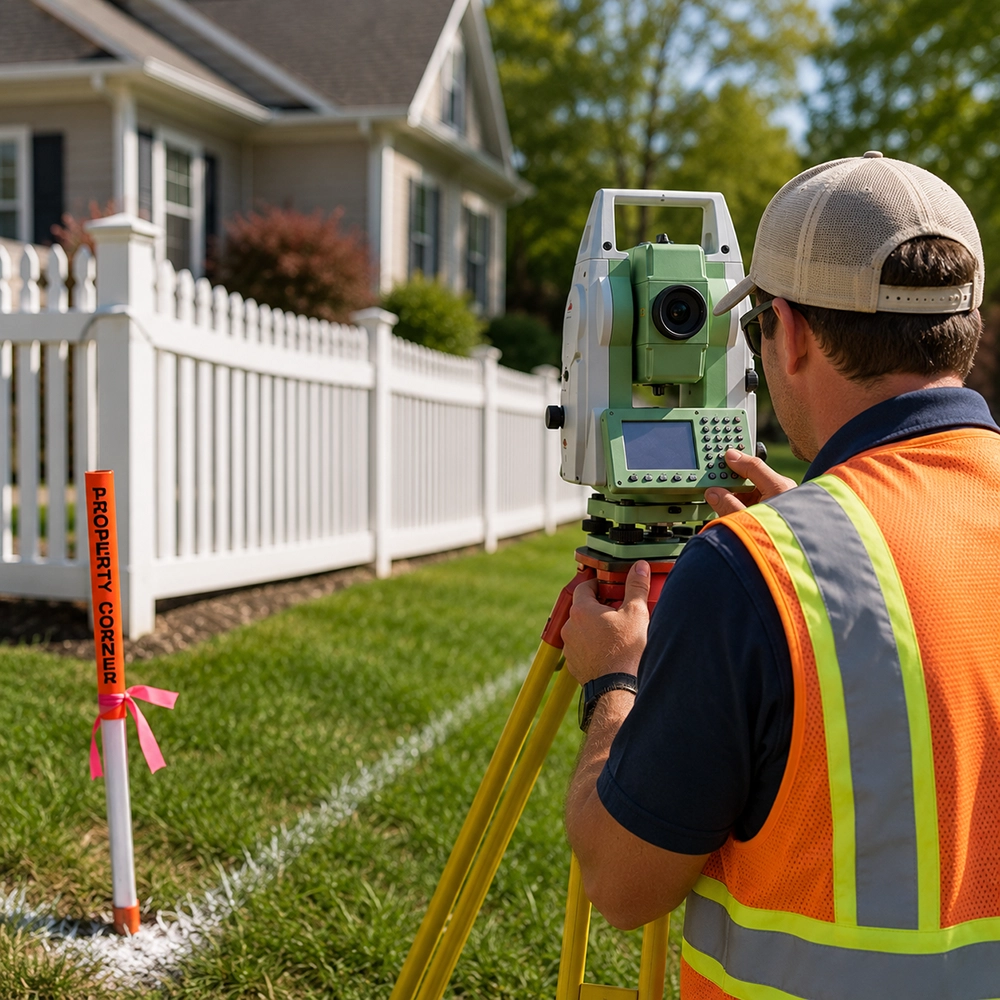
Our Boundary Survey Process
01 — Property Information
The process begins with information about the property and the purpose of the survey. A copy of the property’s deed and legal description is important because the legal description provides the basis for establishing ownership boundaries.
02 — Records Research
ILS researches available records and information relevant to the property. This may include previous surveys, records maintained by other surveyors, and information available through Federal, State, or County offices.
03 — Field Survey and Boundary Analysis
Surveying professionals perform the necessary fieldwork to locate existing evidence and gather measurements needed to establish the property boundaries.
The information gathered through records research and fieldwork is evaluated together to establish the appropriate boundary locations.
04 — Survey Documentation
Upon completion, the appropriate survey documentation is prepared and certified by a Professional Land Surveyor.
Why Choose Independent Land Surveying?

Professional Experience
Independent Land Surveying is a Southern Indiana land surveying company with offices in Brownstown and Columbus and experience serving projects throughout Indiana.
Research + Fieldwork
Establishing a property boundary requires more than simply locating a visible pin. ILS combines records research with professional fieldwork to evaluate the available evidence.
Accurate Information
A professional boundary survey gives property owners reliable information to help make decisions about property improvements, transactions, access, and potential boundary concerns.
Cost-Effective Service
Don’t Assume Your Property Line Is Where You Think It Is.
Property markers, fences, landscaping, driveways, and other improvements do not necessarily establish the legal location of a property boundary.
ILS’s existing FAQ makes an important point for Indiana property owners: a pin or pipe appearing at a boundary location does not, by itself, establish that the property has been properly surveyed. A professional survey should evaluate the available evidence and legal description.
When the location of a property boundary matters, get the information from a qualified professional.
Frequently Asked Questions
A boundary survey is a professional survey performed to establish and document the location of a property’s boundaries using the legal description, available records, field evidence, and professional surveying analysis.
A current survey can help verify the location of the property boundaries and identify potential issues that may affect the property. ILS specifically recommends obtaining a new survey when purchasing property, particularly where existing survey information may be old or uncertain.
A boundary survey can address the location of property corners based on the available legal and physical evidence. The exact work required depends on the individual property and project scope.
A boundary survey can help establish where your property lines are located before installing a fence. This can reduce the risk of placing a fence or other improvement across a property boundary.
A survey can document the relationship between improvements and the established property boundary. This can be particularly useful when a property owner suspects that a fence, structure, driveway, or other improvement crosses the property line.
There is no single price for every boundary survey. The cost depends on factors such as the property’s size, complexity, available records, existing survey information, and the amount of research and fieldwork required.
ILS explains that it needs property information, including the deed and legal description, before it can properly evaluate a project and provide a quote.
The timeline varies depending on the property and complexity of the project. After reviewing the property information and determining the scope of work, ILS can provide an estimated timeline.
Independent Land Surveying serves Southern Indiana and projects throughout the state of Indiana, with offices in Brownstown and Columbus.