Site & Subdivision Design / Construction Engineering
Professional surveying and development support for residential, commercial, and subdivision projects throughout Southern Indiana.
From initial site evaluation and boundary information to subdivision planning and construction layout, Independent Land Surveying provides the surveying expertise and project support needed to move land development projects from concept toward construction.
Site Development & Subdivision Surveying. Turn Your Property Plans Into a Buildable Project.
Developing property requires more than simply dividing land into lots. Accurate information about boundaries, existing conditions, elevations, access, and surrounding features is essential to making informed decisions during the planning and development process.
Independent Land Surveying works with property owners, developers, contractors, and other project professionals to provide Site Development & Subdivision Surveying services.
Whether you’re planning a new subdivision, developing a commercial property, dividing a larger parcel, or preparing a site for construction, accurate surveying information can help establish a reliable foundation for the project.
Site & Subdivision Services
Site & Subdivision Services
Accurate existing-property information can help establish the foundation for planning a new commercial, residential, or other development project.
Subdivision Planning
When larger properties are divided into multiple lots, accurate boundary and survey information is essential for establishing proposed lot configurations and development plans.
Lot Layout & Development
Survey information can help establish property lines, lot locations, access areas, and other features associated with planned development
Construction Layout
Surveying support during construction helps contractors and project teams locate improvements and other project features according to the approved plans.
Elevation & Site Information
Existing elevations and site conditions can provide important information for planning grading, drainage, access, building locations, and other development considerations.
Property & Boundary Research
Existing deeds, plats, surveys, easements, and other available records may be reviewed as part of the survey and development process
Planning Before Construction Begins
A successful development project starts with accurate information.
Before construction begins, property owners and development teams need to understand what exists on the property and how the proposed project will fit within the site’s physical and legal boundaries.
Surveying information can help identify:
- Property boundaries
- Existing improvements
- Lot dimensions
- Easements and rights-of-way
- Access points
- Existing site features
- Elevations
- Utilities and visible utility features
- Existing structures
- Roads and driveways
- Drainage features
- Proposed lot locations
- Construction control points
- Other conditions that may affect development
Having this information available early in the planning process can help reduce surprises and provide project professionals with a more accurate picture of the property.
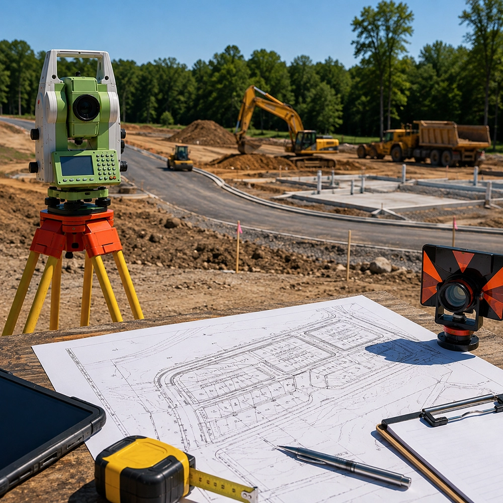
From Property Evaluation to Construction
01 — Evaluate the Property
We begin by understanding the property, the proposed project, and the information needed to move forward
02 — Research Existing Information
Available deeds, plats, prior surveys, easements, and other relevant property information are reviewed as appropriate.
03 — Perform Field Surveying
Fieldwork is conducted to establish property information and document existing site conditions needed for the project.
04 — Develop Survey Information
Collected information is organized and prepared to support the proposed development, subdivision, or construction project.
05 — Coordinate With the Project Team
Survey information can be provided to the appropriate owners, developers, engineers, architects, contractors, and other professionals involved in the project.
06 — Support Construction
Where applicable, surveying services can continue into the construction phase to help establish locations and elevations needed for construction activities.
Building on Accurate Information
Whether you’re developing a residential subdivision or preparing a commercial property for construction, decisions made early in the process can have a significant impact on the project.
Accurate surveying information helps establish where the property begins and ends, what currently exists on the site, and how proposed improvements relate to the property.
For Property Owners
Understand the characteristics and development potential of your property before investing in construction.
For Developers
Obtain reliable property and site information to help guide subdivision and development planning.
For Contractors
Provide the survey information and construction layout needed to establish project locations in the field.
For Project Professionals
Give engineers, architects, planners, and other professionals accurate property information to incorporate into their project work.
Planning a New Development?
The earlier accurate property information is incorporated into a project, the easier it can be to identify potential issues and coordinate the various stages of development.
Independent Land Surveying can provide the surveying services needed to help move your project from property evaluation and planning to subdivision and construction.
Frequently Asked Questions About
Site & Subdivision Services
Site development surveying involves collecting and documenting information about a property that can be used to support planning, design, development, and construction.
Subdivision surveying involves establishing and documenting property boundaries and proposed divisions of a larger parcel into individual lots or parcels.
In many development projects, accurate boundary and existing-condition information is an important first step. The specific surveying requirements depend on the type and scope of the project.
Independent Land Surveying provides surveying services associated with property division and subdivision projects. The specific scope of services depends on the project requirements and applicable local regulations.
Yes. Surveying can continue into the construction phase where construction layout, control points, elevations, or other field services are required.
Table A contains optional survey items that can be requested as part of an ALTA/NSPS survey. The specific items required depend on the needs of the client, lender, title company, or other parties involved in the transaction
Site development surveying can be useful to property owners, developers, contractors, engineers, architects, municipalities, and other professionals involved in land development and construction.
Project costs vary depending on the size and complexity of the property, the scope of the proposed development, the amount of research required, field conditions, and the services needed.
Whether you’re considering a subdivision, commercial development, new construction, or another land development project, start with accurate information about the property.
Independent Land Surveying can help provide the surveying foundation your project needs.