Route Survey Services
Accurate surveying for roads, utilities, and linear infrastructure projects.
Professional route surveying services for transportation, utility, construction, and infrastructure projects throughout Southern Indiana and across Indiana.
Plan the Route. Establish the Details. Build With Confidence.
Route surveying provides the surveying information needed to plan, design, and construct projects that follow a defined corridor or alignment.
Whether the project involves a roadway, utility line, power line, water or sewer system, or another linear improvement, accurate horizontal and vertical information is essential to understanding existing conditions and establishing the proposed route.
Independent Land Surveying provides route surveying and related surveying services throughout Indiana. Its existing service offerings include route surveys, utility surveys, easement surveys, right-of-way surveys, and construction staking.
When Do You Need a Route Survey?
Route surveys are commonly associated with projects where a road, utility, or other improvement follows a defined path across a property or corridor.
Road and Highway Projects
Route surveying can provide horizontal and vertical survey information needed for roadway planning, design, and construction.
Utility Projects
Water, sewer, electrical, and other utility improvements often require accurate positioning along a proposed or existing route.
Power Line Projects
Surveying can provide horizontal and vertical control for designated or proposed power-line routes.
Water and Sewer Projects
Route surveying can help establish the horizontal and vertical control needed to properly position water, sewer, and related infrastructure.
Right-of-Way Projects
When a project follows an existing or proposed right-of-way, surveying can help establish the relevant location and control information.
Construction Projects
Accurate route information can provide the foundation for construction staking and the positioning of improvements in the field.
ILS specifically identifies roads and bridges, power lines, sewer, water, and culverts among the types of construction-engineering work it supports
What Information Does a Route Survey Provide?
A route survey is designed around the needs of the particular project. The scope can vary depending on the type of infrastructure, the length and complexity of the corridor, existing conditions, and the project’s design requirements.
Depending on the project, route surveying may provide information such as:
- Horizontal positioning
- Vertical elevations and control
- Existing ground conditions
- Existing property and right-of-way information
- Utility and infrastructure locations
- Existing roads and other improvements
- Proposed route or alignment information
- Cross-section and profile information where required
- Survey control for design and construction
- Information needed for construction staking
The goal is to provide accurate field information that engineers, designers, contractors, and other project professionals can use during planning, design, and construction.
The exact scope of a route survey depends on the project requirements and the type of infrastructure being designed or constructed.
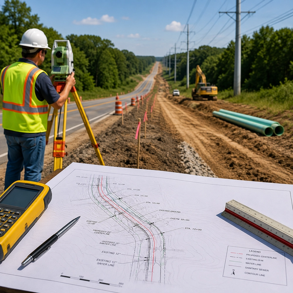
Our Route Survey Process
01 — Understand the Project
We begin by understanding the purpose of the project, the proposed corridor, and the type of infrastructure involved.
02 — Review Available Information
Available plans, property information, right-of-way information, existing survey information, and other relevant project records can be reviewed to establish the appropriate surveying approach.
03 — Establish Survey Control
Survey control is established as necessary to provide reliable horizontal and vertical reference points for the project.
04 — Perform Field Survey
Our survey professionals collect the measurements and field information needed to document existing conditions and support the proposed route or alignment.
05 — Prepare Survey Information
The collected information is processed and prepared in the format appropriate for the project and the needs of the design or construction team.
06 — Support Construction
When required, the survey information can be used to support construction staking and field positioning of roads, utilities, and other improvements.
ILS’s construction-engineering services specifically include horizontal and vertical control for roads and bridges, power-line alignment, and positioning of sewer, water, and culvert facilities.
Route Surveying for Complex Projects

Linear infrastructure projects can cross multiple properties, roadways, utility corridors, and changing terrain. Accurate surveying becomes especially important when existing conditions must be understood before design or construction begins.
Independent Land Surveying has experience providing surveying services for projects of varying size and complexity. The company is based in Southern Indiana with offices in Brownstown and Columbus and states that its work area includes the entire state of Indiana.
Accurate Positioning
Reliable horizontal and vertical information helps establish where improvements belong within the project corridor.
Detailed Field Information
Field surveying provides the existing-condition information needed by engineers, designers, and construction professionals
One Surveying Resource
ILS offers route surveying along with related services such as utility surveys, easement surveys, right-of-way surveys, construction staking, and construction engineering.
Your Project Depends on Accurate Information.
Roads, utilities, power lines, water systems, and other linear improvements must be positioned accurately within their intended corridors.
A professional route survey provides the field information and survey control necessary to help move a project from planning and design toward construction.
Start your project with accurate surveying information you can build on.
Frequently Asked Questions About Route Surveys
A route survey is a type of surveying performed along a defined corridor or alignment to provide information needed for planning, design, and construction of linear projects such as roads, utilities, and other infrastructure.
Route surveys may be used for roadway, bridge, utility, power-line, water, sewer, drainage, and other linear infrastructure projects.
Route surveys can include horizontal and vertical control and elevation information as required by the project.
Yes. Route surveying can support utility projects involving water, sewer, electrical infrastructure, and other facilities that follow a defined route. ILS specifically lists utility surveys and construction-engineering services for sewer, water, power lines, and culverts.
Yes. Right-of-Way Surveys are included among the surveying services listed by Independent Land Surveying.
Yes. Construction Staking is included among ILS’s listed surveying services.
There isn’t a standard price for every route survey. Cost depends on factors such as the size and length of the project, terrain, existing conditions, required research, fieldwork, and the type of information needed.
The timeline depends on the size and complexity of the project and the scope of surveying required. ILS can provide an estimated schedule after reviewing the project requirements.
Independent Land Surveying serves projects throughout Indiana, with offices in Brownstown and Columbus